
Mount Lady MacDonald (Lady Mac)
Canmore, Alberta
Type of Site: Hike & Fly Mountain Site (PG)
Total Height: 908m
before taking off
Please contact Alpine Helicopters at 403-678-4802 and communicate your intentions for the day. Good communications with other air users helps to ensure our continued use of flying sites in Canmore and if you’re lucky you may even get a weather report from them.
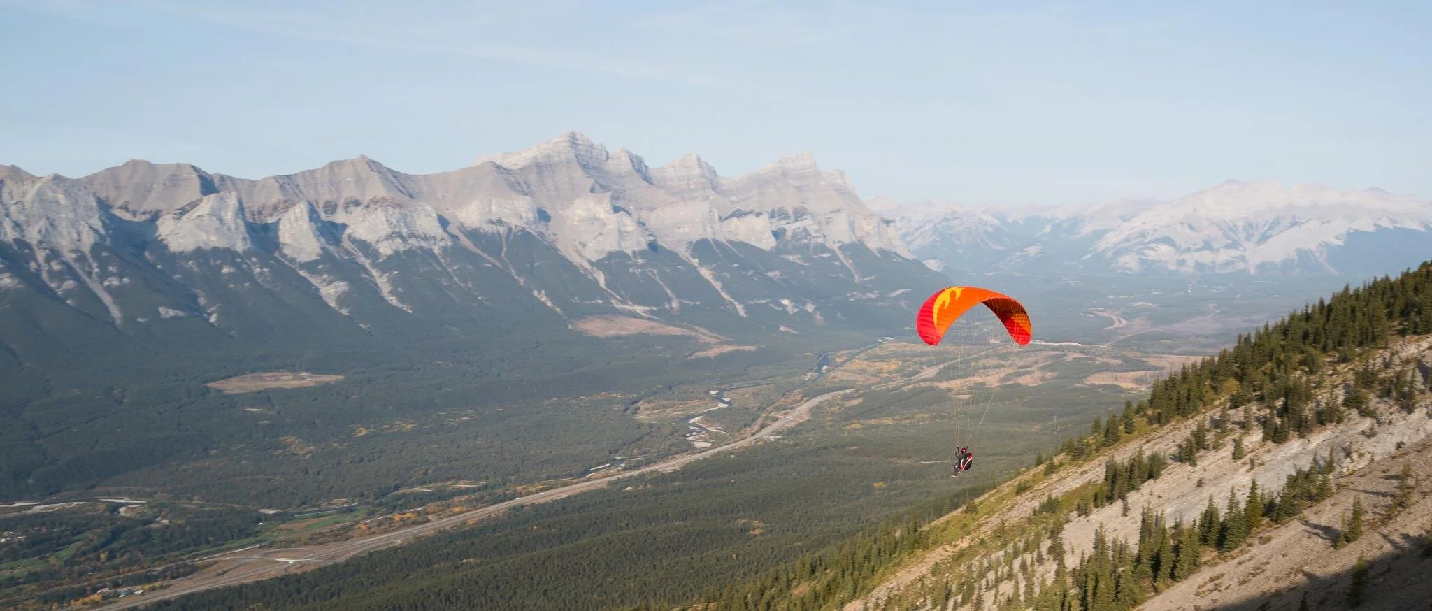
This is the primary site for Canmore based pilots. Look toward the south-facing side of the valley,
the mountain to the left of the big gash (Cougar Creek) is Lady "Mac." Pilots launch from where the someone with bad business sense tried to build a "teahouse," the remnants of which have now been removed. The "teahouse" is located on the shoulder of Lady Mac that leads down into Cougar creek, above a big gully that faces town. This is a super popular local hike as well. Note that if you fly west you're in the National Park relatively soon. No big deal unless you land in it, which is unlikely on a good day.
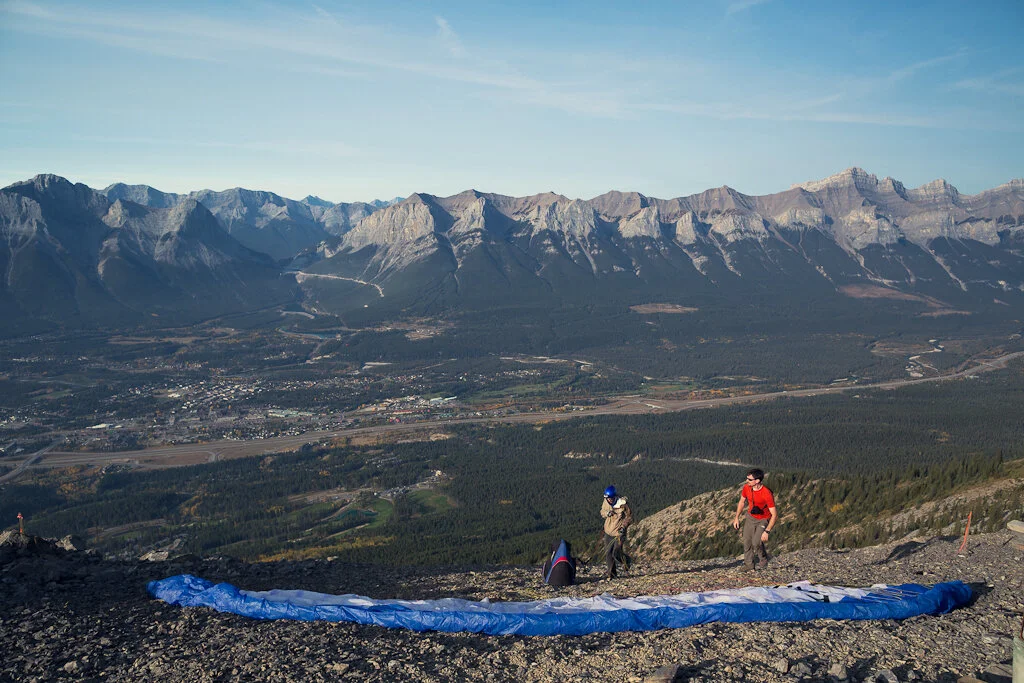
Access: Park at the Cougar Creek trailhead, have a look at the sign, head on up. The record is about an hour with a light glider setup, most people will take around two with a fat bag and one or two quick stops for water. The gain is around 900m or 3,000 feet.
Launch: There's a heli platform for the teahouse, we launch just below it. You'll notice that all the rocks below the teahouse are the size of walnuts, with all the big rocks mysteriously missing. That's because local pilots have taken a lot of time to move the big rocks, do the locals a favour and remove some of the rocks to the sides, who knows, maybe in another 30 years we'll be able to fit two gliders in there at once. There are normally some wind streamers and such, add more if they are missing.

As for winds, the site is best in a straight south or southwest. Be careful if it's blowing North or Northwest, the launch is in the lee with this wind direction, I've been screwed by this a few times. If the clouds are blowing along the ridgeline toward Calgary then you're probably in the lee and may have an adventure once you get out into the air.
Landing: Beside the Trans Can, just "west" of the Sheraton, huge field where the RC guys fly their planes. A nice place to land. There are lots of other options.
There has been ongoing construction in this field in recent years. Check your LZ for hazards before heading up.

Airspace: The takeoff is within the Calgary CAE (Class E), extending from 5,800ft to overflying airspace. There are no other airspace concerns. You should pay more mind towards not landing in the national park. The boundary is just west of the Canmore townsite.
XC Options: The "classic" flight is to head west along the range to Lake Minnewanka, then back to launch, followed by a tour east over Grotto, around the valley, whatever.
Site Weather Links:
https://weather.gc.ca/city/pages/ab-34_metric_e.html
http://canadarasp.com/windgrams/?region=9&location=2&plotType=0
Additional Links:
Gravsports (older site set up by Will Gadd)
Local Contact:
Canmore Paragliders Facebook Group